
The Parade Is One Day. The Land Is Forever.
I spend a lot of my time driving and hiking to places that most people, even most Israelis, have never visited. And the more time I spend out there, the more I believe that one of the most important things we can do for the next generation — for our kids, for students in Jewish schools and Hebrew schools across the diaspora — is to show them that the stories they read in the Torah and the Tanach and the history books are not abstract. These are real places. You can drive there. You can stand there. And when you do, something happens to you that no classroom and no textbook can replicate.
Take the Ellah Valley. Most people know the name from one story — David and Goliath. But standing in that valley, looking out at the rolling hills of the Judean Shephelah on either side, you realize that this wasn't just the backdrop for one famous duel. This was the frontier. The Philistines controlled the coastal plain and were pushing east toward the Judean highlands, and the Ellah Valley was the corridor they used. The battle between David and Goliath wasn't just about one brave shepherd boy — it was the decisive moment that stopped that push cold and shifted the entire balance of power in the region. The valley itself is extraordinarily beautiful, wide and green in winter, golden in summer, with the ancient Elah tree still growing near the traditional site where David picked up his five smooth stones from the brook. Many years after that battle, Bar Kochba's rebels used the hills above this same valley as hiding places and strongholds during the last desperate stand against Roman rule, carving out cave hideouts in the limestone where archaeologists have found coins, weapons, and personal belongings left behind when the revolt collapsed. The history in that valley is stacked layer upon layer and it's all still visible if you know what you're looking at.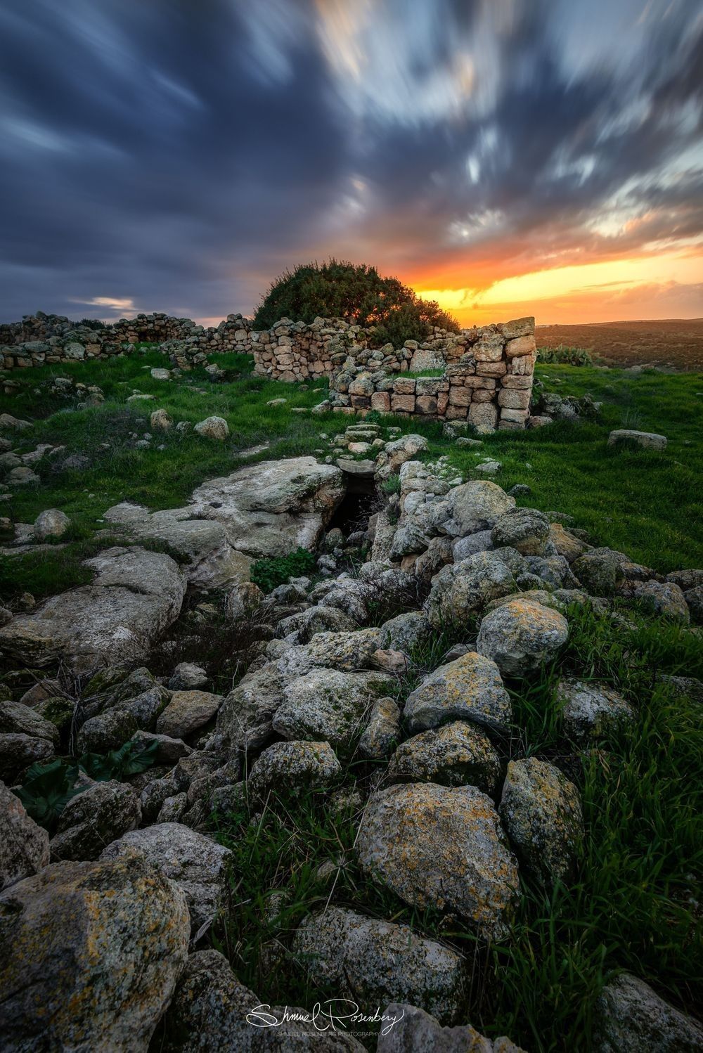
The Sea of Galilee is another place where the layers are almost overwhelming. I live fifteen minutes away from the Kinneret, and I never stopped being moved by it. The lake sits 212 meters below sea level, surrounded by hills that catch the light in spectacular ways at sunrise and sunset, and the ancient towns along its shores — Magdala, Capernaum, Bethsaida, Korazim — were some of the most densely populated Jewish communities in the country during the Second Temple period. After the destruction of the Temple and the crushing of the revolts, the surviving Jewish leadership relocated north, and Tiberias on the western shore of the Kinneret became one of the great centers of Jewish scholarship in the world. The Jerusalem Talmud was edited there. Rabbi Yochanan bar Nappacha, one of the towering figures of the Talmudic period, spent his life teaching in Tiberias. Rabbi Akiva is buried just outside the city. The Sanhedrin reconvened there. All of this happened within view of the same lake, the same hills, the same water that you look at today when you drive along Road 90 on a clear morning, and the Kinneret is so still it looks like glass. That lake carried fishing boats in the time of the Talmud, and it carries fishing boats today, and the mountains on the Golan side look exactly the same as they did when all of it was happening.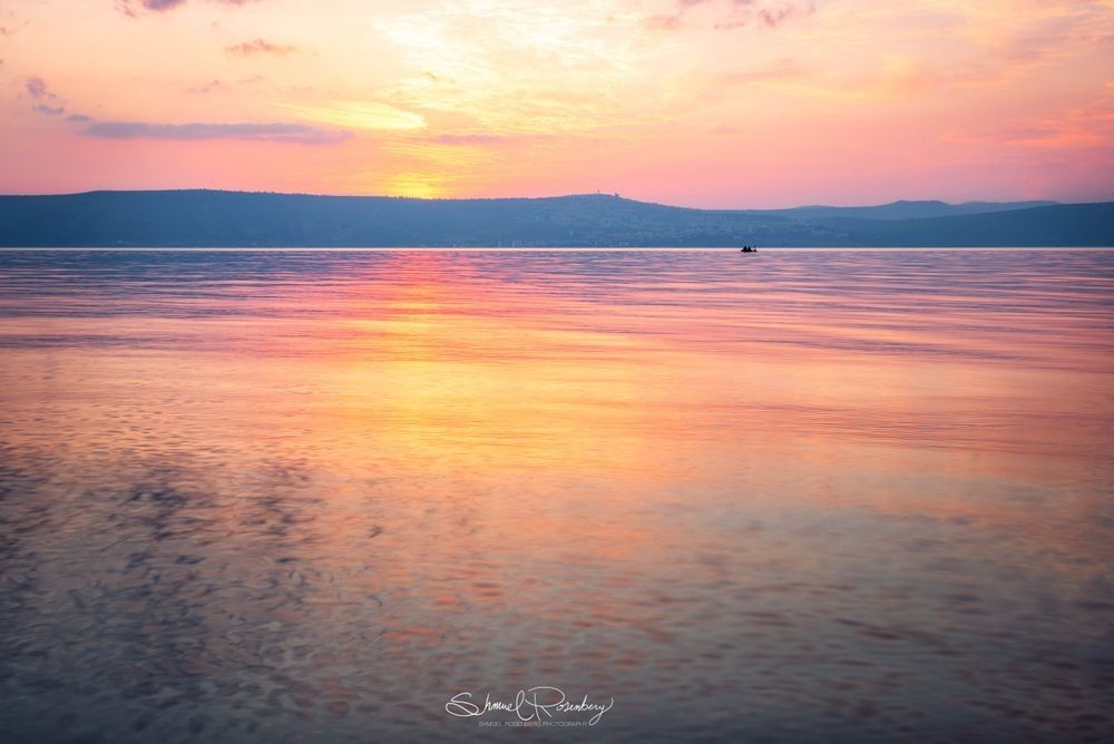
Go west from the Kinneret toward the Mediterranean, and you find the ancient seaports that connected Israel to the rest of the ancient world. Caesarea Maritima, built by Herod the Great as one of the most ambitious engineering projects of the ancient world, was a fully functioning deep-water port city with a hippodrome, a Roman theater, an aqueduct stretching 14 kilometers along the coastline, and a harbor built using hydraulic concrete — a technology that Herod's engineers essentially invented for the project. The Roman theater at Caesarea is extraordinarily well-preserved and still hosts concerts and performances today, which is one of those only-in-Israel moments where you buy a ticket and sit in a 2,000-year-old stone amphitheater overlooking the Mediterranean to watch a live show. Further north, Akko — Acre — has a continuous history of habitation stretching back to the Bronze Age and served as one of the most important ports in the eastern Mediterranean for the Crusaders, the Ottomans, and the British Mandate. The Crusader city beneath modern Akko is one of the most fascinating underground archaeological sites in the country, a nearly complete medieval city preserved under the streets of a living, breathing Arab-Jewish port town.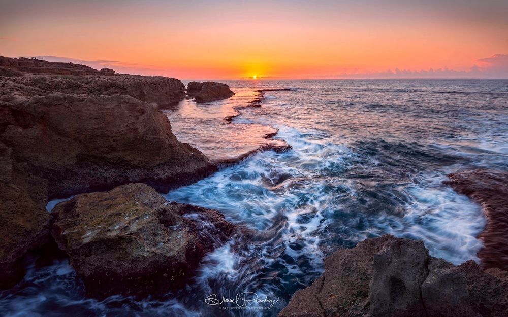
Then there are the Jerusalem hills. The approach to Jerusalem from the west, driving up Road 1 through the forest-covered slopes of the Judean mountains, is one of the most beautiful drives in the country at any time of year. What most people don't know is that this road follows almost exactly the ancient route used by pilgrims traveling to Jerusalem for the three pilgrimage festivals since Biblical times. The hills around Jerusalem are covered in ancient terracing — thousands of years of farming carved into the limestone — and the forests planted by the Jewish National Fund over the last century have turned what was barren and eroded hillside back into something green and alive. Somewhere along that road, if you pull over and walk into the forest for a few minutes, the silence is total, and the view back west over the mountains toward the coastal plain is breathtaking.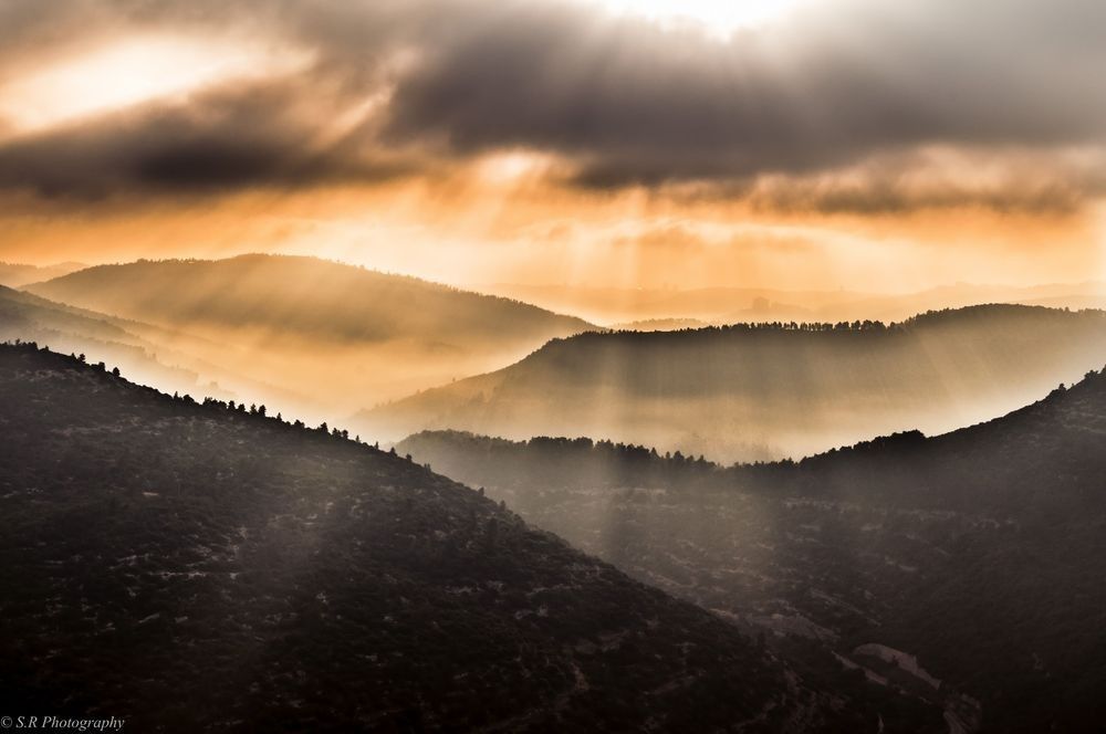
And then there's the Burma Road. For anyone whose children are studying the history of the founding of the state, there is no better place to make that history tangible. In 1948, Egyptian and Arab Legion forces cut off the road to Jerusalem, trapping 100,000 Jewish residents of the city and slowly starving them into submission. The Haganah's response was to build, in secret and in a matter of weeks, an alternate supply route bypassing the Arab-held Latrun junction — blasting through hillsides, dragging supplies by hand through terrain too steep for vehicles, and eventually establishing a passable road that broke the siege and saved the city. The remains of that road still exist in the Jerusalem hills, including rusted armored vehicles left deliberately as monuments along the route, sitting in the forest exactly where they were abandoned during the fighting. Standing next to those vehicles, which are slowly being reclaimed by the trees growing around them, and explaining to a child what happened here in 1948 — that a group of people who had survived the Holocaust and the chaos of the Arab Revolt built a road through these hills by hand to save Jerusalem — that is a conversation that no classroom can replicate.
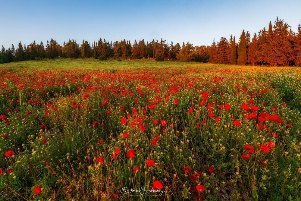
Gush Etzion sits a few kilometers south of Jerusalem on the road to Hebron, and its story is one of the most moving in all of modern Israeli history. Jewish farming communities were established in this area in the 1920s and 1930s, destroyed by Arab forces in the 1929 riots and again in the 1936-1939 revolt, rebuilt, and then besieged and massacred in May 1948, four days before the declaration of the State of Israel. The survivors were taken prisoner. The land sat in Jordanian hands for nineteen years. And then, in 1967, the children of the original settlers — who had grown up in Israel hearing their parents talk about the orchards and the fields and the stone houses they had built in the hills of Gush Etzion — went back and rebuilt the kibbutz from scratch. The ancient trees their parents had planted were still there. That story — of building, losing, mourning, and returning — is not just the story of Gush Etzion. It's the story of the Jewish people compressed into a single valley south of Jerusalem, and the place is staggeringly beautiful, terraced hills covered in olive trees and vineyards with Jerusalem visible in the distance on a clear day.
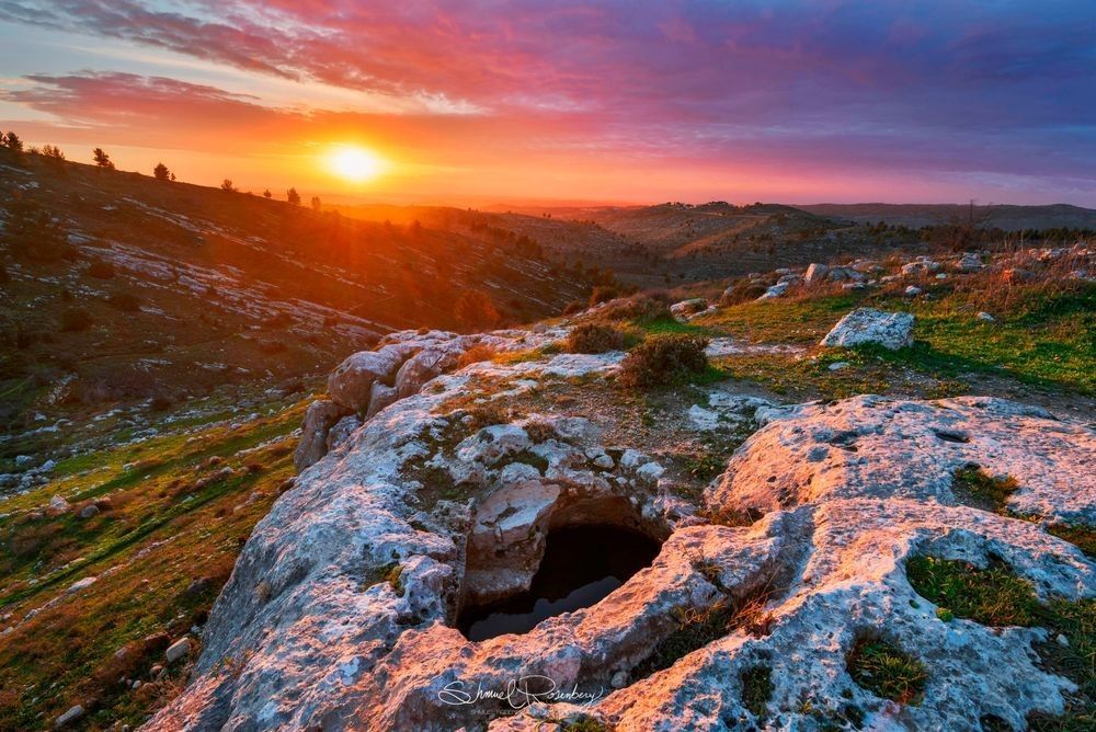
I think about all of this when I watch footage of the parade in New York. All those people, many of whom have never stood in the Ellah Valley or driven the Burma Road or watched the sun set over the Kinneret, carrying something deep and real inside them — a connection to this land that was passed down through generations of learning and prayer and family memory. What I try to do through my photography is give that connection a face. To show people what the valley where David fought actually looks like in the afternoon light. What the hills above Gush Etzion look like covered in morning mist. What the Kinneret looks like at four in the morning when the water is completely still and the sky is just beginning to lighten over the Golan. To take the stories that children learn in school and synagogue and make them into places they can picture, places they can one day visit and recognize because they've already seen them through a photograph taken by someone who stands in those spots and feels the full weight of what happened there.
That's the whole point of what I do. The parade is one day a year. The land has been here for thousands of years and will always be here for us. The connection between the Jewish people and that land is one of the oldest stories in human history, and every single place I've described above is still there, still breathtaking, still full of everything that was poured into it by every generation that came before us. My job is to make sure people can see it.